
NEW YORK, September 5, 2026 — The United Nations General Assembly has adopted a Togo-sponsored resolution calling for greater use of world map projections that more accurately represent the relative size of countries and continents.
The resolution, adopted on September 4, 2026, reportedly received overwhelming support, passing 164 votes to one, with six abstentions. The United States was the only country to vote against the measure.
The initiative, backed by members of the African Union, seeks to address longstanding concerns over the way conventional world maps can distort perceptions of the size of different regions—particularly Africa and other areas around the Equator.
At the centre of the debate is the centuries-old Mercator projection, developed in the 16th century and widely used in classrooms, atlases and digital mapping.
Mercator is particularly useful for navigation because it preserves angles and makes constant compass bearings appear as straight lines. However, it significantly exaggerates the apparent size of territories as they approach the North and South Poles.
As a result, Greenland can appear comparable in size to Africa on some Mercator maps, despite Africa covering approximately 30 million square kilometres and being roughly 14 times larger than Greenland.
The alternative promoted by the campaign includes the Equal Earth projection, introduced in 2018. Unlike Mercator, Equal Earth is designed to preserve the relative areas of continents and countries, providing a more realistic visual comparison of their actual landmass.
The Equal Earth projection, however, is not completely distortion-free: while it preserves area, it necessarily compromises some aspects of shape and distance.
No global ban on Mercator
Despite the significance of the vote, the resolution does not mean the United Nations has abolished or banned the Mercator projection.
The measure is non-binding and does not compel governments, schools, news organisations, technology companies or mapmakers to replace their existing maps.
It also does not seek to eliminate Mercator from navigation.
Its principal objective is to encourage governments, educational institutions, international organisations and other users to consider equal-area projections when maps are being used to communicate comparisons of geographic size.
The distinction is important because headlines suggesting that the UN has “adopted a new world map” or “retired the Mercator map” could give the impression that a single replacement map has now been mandated globally.
That is not the case.
Africa at the centre of the campaign
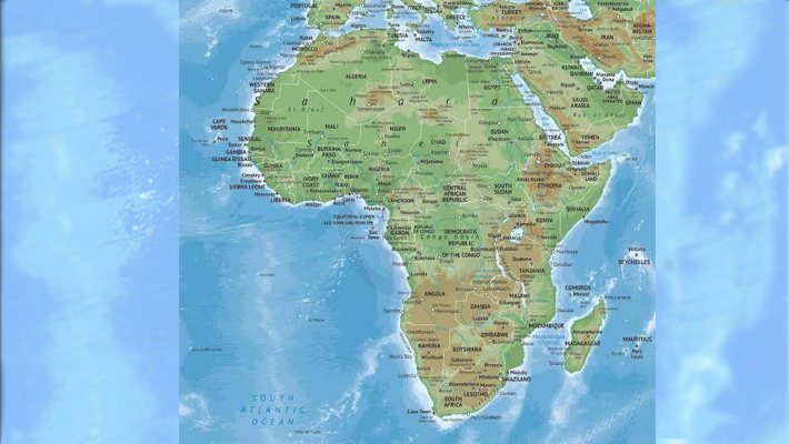
The campaign has particular resonance in Africa, where the continent’s enormous geographical size is frequently visually underestimated on commonly encountered world maps.
African advocates have long argued that map projections are not merely technical or cartographic choices, but can influence how people perceive the geographical importance and scale of different parts of the world.
The African Union reportedly endorsed Equal Earth earlier in 2026, before Togo brought the issue before the UN General Assembly.
The latest resolution therefore represents a largely political, educational and symbolic push for greater geographical accuracy rather than a compulsory overhaul of global cartography.
What the UN decision means
In practical terms, the resolution encourages:
Greater use of equal-area projections where comparing the size of countries and continents is important.
More accurate geographical representation in education and public communication.
International institutions to consider alternatives to Mercator for non-navigational purposes.
Greater public awareness of the distortions inherent in different map projections.
Mercator, meanwhile, is expected to remain widely used, particularly in contexts where its navigational advantages are important.
The UN vote thus represents less a declaration that “the old map is wrong” than an acknowledgement that no single map projection can accurately represent every geographical property at once.
The message from the campaign is that when the purpose of a map is to show how large places actually are, equal-area projections such as Equal Earth can provide a fairer visual representation—especially for Africa, South America and other equatorial regions.
UN Backs New World Map Push, Ending Mercator’s Visual Distortion of Africa

- Advertisement -